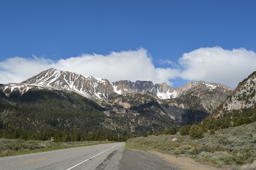
East to west California Highway 120 travels up the steepest gradient of road in the first ten miles gaining 3,000 feet in elevation from U.S. 395 at Mono Lake at around 7,000 feet to the Tioga Pass gate for Yosemite National Park at 9,945 feet. Tioga Pass Road is the highest road of the highway passes across the Sierra Nevada.
Mount Dana (13,061 feet) on the eastern edge of Yosemite National Park is the second highest mountain in the park. There are trails from Tioga Pass Road to the summit of Mount Dana.
Some of the best pullout view spots are along the road in the 11 miles before reaching the Yosemite National Park Tioga Pass entrance gate. The vehicle entrance fee is $20.
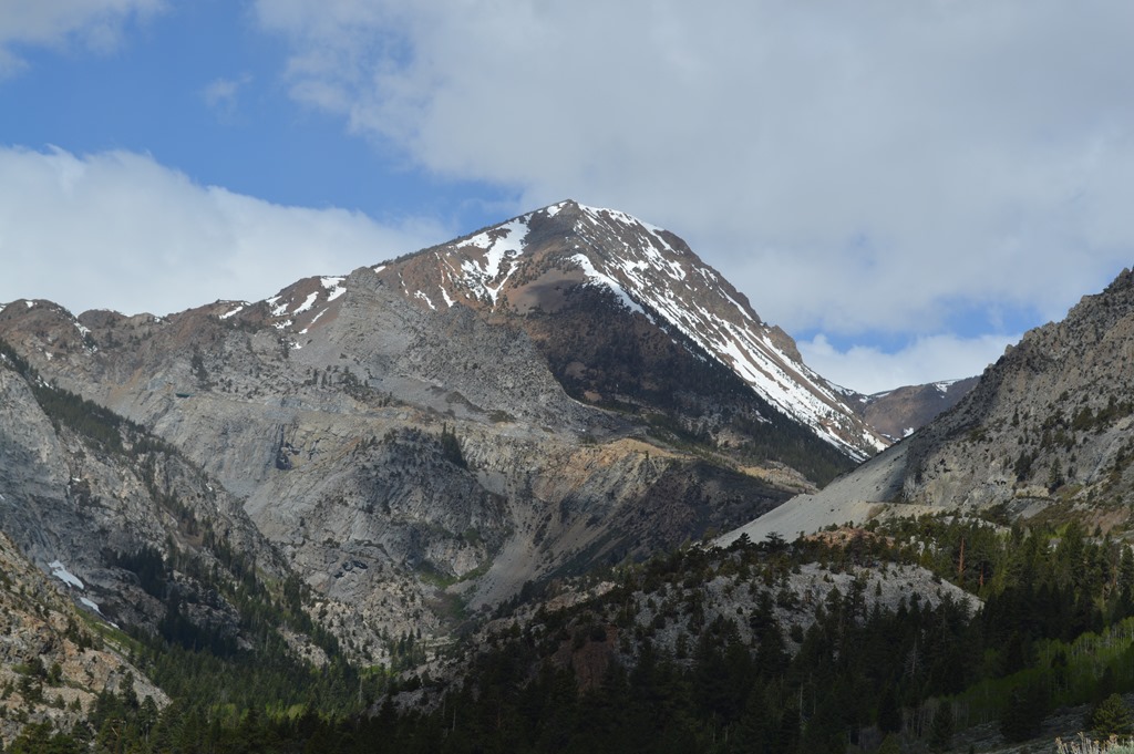
View from around 9,000 feet on Highway 120 east of Tioga Pass.

Tioga Pass Road seen climbing up the eastern Sierra mountainsides.
East of the Tioga Pass summit and Yosemite National Park east entrance gate are Tioga Lake (9,700 feet)and Ellery Lake (9,538 feet) with small campgrounds.
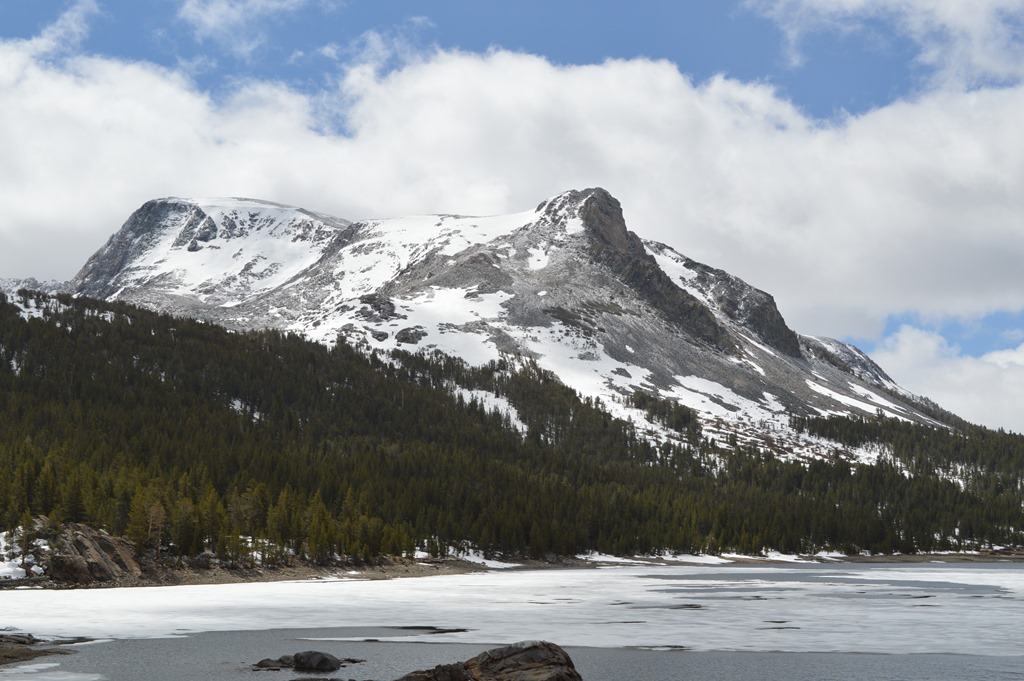
Tioga Lake (9,700 feet) is two miles east of Tioga Pass Yosemite entrance.

Tioga Pass (9,945 feet) east entrance to Yosemite National Park. The weather forecast showed 50 degrees as a high and 25 degrees as a low for Friday, May 17, 2013 with a 30% chance of snow showers.
Tioga Pass opened for seasonal vehicle traffic on May 11. 2013. Snowfall was far below normal for winter 2012-13 for the second year in a row after a heavy 2010-11 snow season.
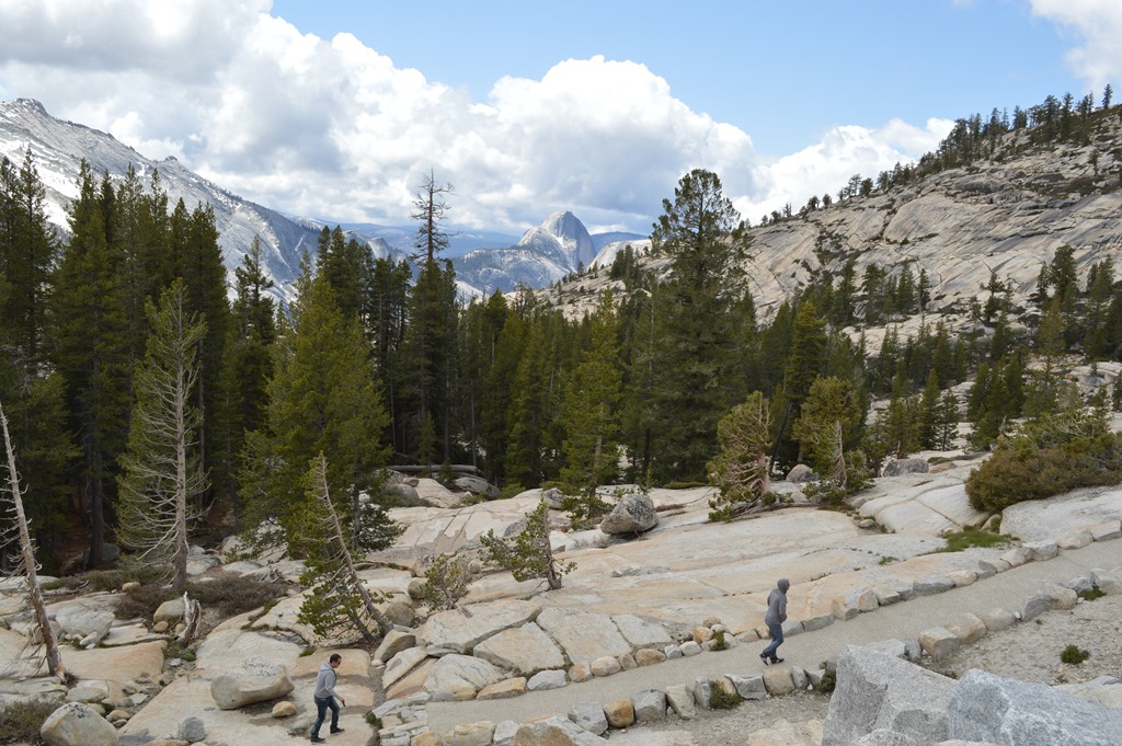
From Tioga Pass gate the road levels out through Tuolumne Meadows. Within the first couple of miles of road I spotted two deer and some ground creature scurrying around in the grass covered sub-alpine meadow. They are not seen in this photograph of Tuolumne Meadows (8,619 feet).
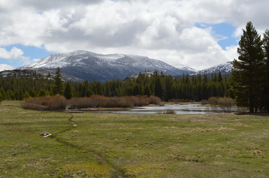
Tuolumne Meadows in Yosemite National Park.
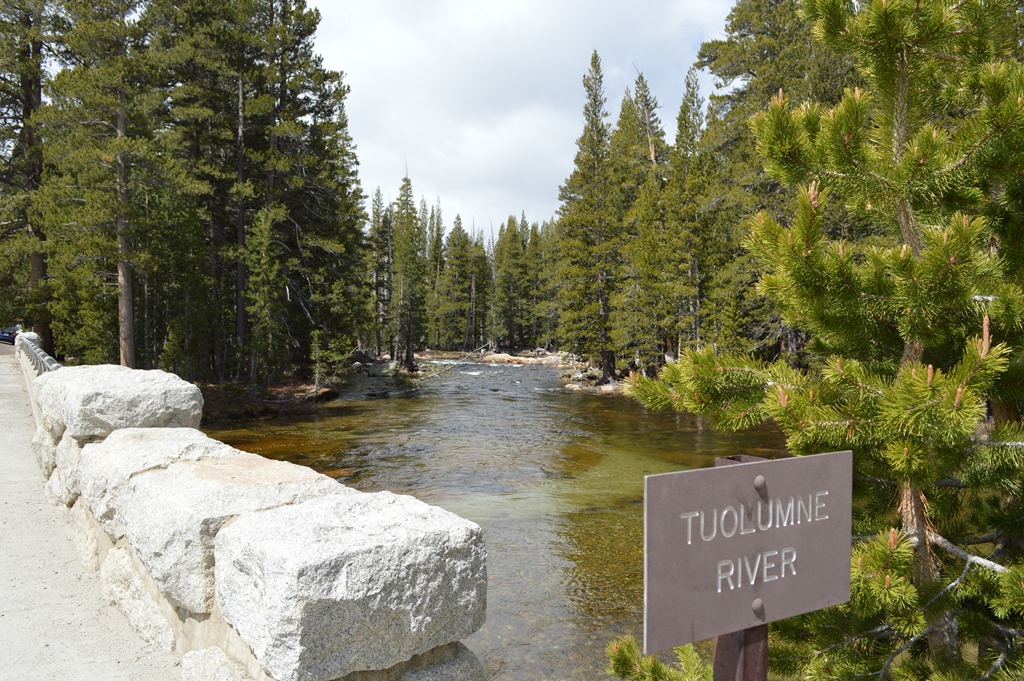
Tuolumne River, Yosemite National Park.
Large boulders are deposited in different areas of the meadows. Trees grow around the rocks.

Tuolumne Meadows.
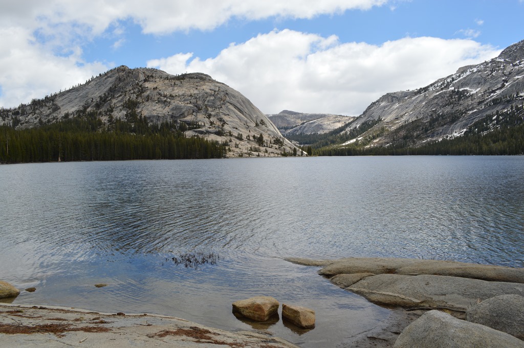
A couple miles west of Tuolumne Meadows is Tenaya Lake.
This looks like a natural infinity pool at the edge of Tenaya Lake.
Tenaya Lake is the largest lake in what is called Yosemite’s front-country.
The sun was intense and I lathered my face in sunscreen. Walking in the woods around Tenaya Lake reminded me of something I hardly experienced at the six other National Parks I visited in the previous two weeks. Mosquitoes gave me several bites around my head within minutes. Those bloodsuckers love me.
Chief Tenaya
Yosemite is a gorgeous place. The high country is dramatic scenery only surpassed by the lush splendor of Yosemite Valley and its tall waterfalls.
Not surprisingly, the Yosemite region was occupied by the Ahwahneechee tribe when the gold rush brought prospectors to the Yosemite Valley by 1850. Conflict between miners and Ahwahneechee resulted in the Mariposa Brigade forming to track, capture and relocate local tribal people. The Mariposa Brigade entered Yosemite Valley in spring 1851 to capture and relocate the 200 or so members of the Ahwahneechee tribe to an Indian Reservation near Fresno. Chief Tenaya and part of the tribe went to the reservation while other tribe members joined other groups in the Mono and Paiute regional tribes. Chief Tenaya was allowed to return to Yosemite Valley, but after miners were killed in 1852, an army batallion was sent to Yosemite Valley. Chief Tenaya fled and took refuge in the Eastern Sierra with Mono Paiute.
I‘ve read two different stories, but both versions tell Chief Tenaya was killed by the Mono tribe in 1853 for either a gambling or horse stealing fight.
Apparently, from my quick read of several online articles, there is a controversy over the accuracy of National Park Service historical information calling the Ahwahneechee people of Yosemite as members of the Miwok Indians when there are arguments they were Paiute and enemies of the Miwok.
- Yosemite – The Embattled Wilderness(National Park Service)
- A History of American Indians in California (National Park Service)
One of the interesting stories is the name Tenaya Lake was given by a non-Indian member of the Mariposa Brigade. Chief Tenaya’s response was the lake already had a name ‘Pie-we-ack’ or ‘Lake of the Shining Rocks’.
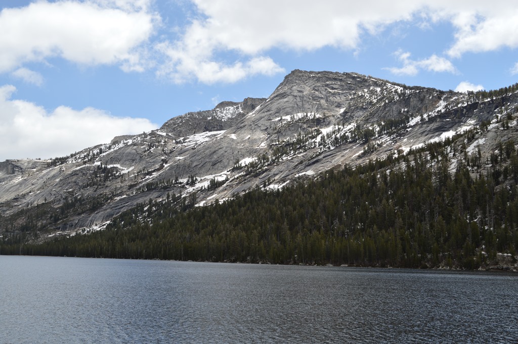
Tenaya Lake, Yosemite National Park.
Tioga Road is adjacent to Tenaya Lake and overuse of the lake area has been a concern in recent years resulting in the closure of the campground. Visitors are allowed to swim, fish and use non-motorized watercraft like a canoe or kayak on the lake.

Tenaya Lake seen from near Olmsted Point.
Olmsted Point, Yosemite National Park
About one mile west of Tenaya Lake is Olmsted Point named in honor of Frederick Law Olmsted, designer of New York’s Central Park. Olmsted was an early conservationist and helped popularize the movement to make Yosemite a National Park.
President Abraham Lincoln signed the Yosemite Grant in 1864 and set the precedent for the federal government to protect land from development. Eight years later this precedent developed further in establishing Yellowstone National Park in 1872 as the first National Park. Yosemite Valley remained a California State Park until becoming a National Park in 1890. During these years a couple of legal cases involving the state’s right to invalidate homesteader’s claims to property within the park reached the U.S. Supreme Court which declared the homesteaders could be evicted.
Olmsted Point view of Clouds Rest (9,943 feet) rising above Yosemite Valley. Half Dome is seen in distance.
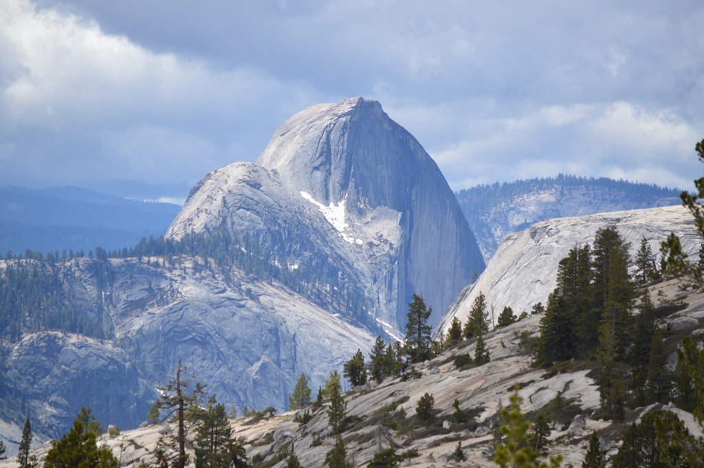
Half Dome (8,847 feet) seen from Olmsted Point through telephoto lens. The granite crest of Half Dome rises 4,737 feet above the Yosemite Valley floor.
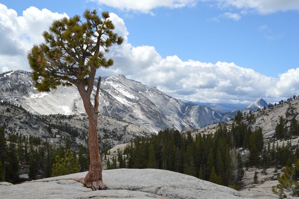
Lone tree at Olmsted Point with Clouds Rest and Half Dome in background.
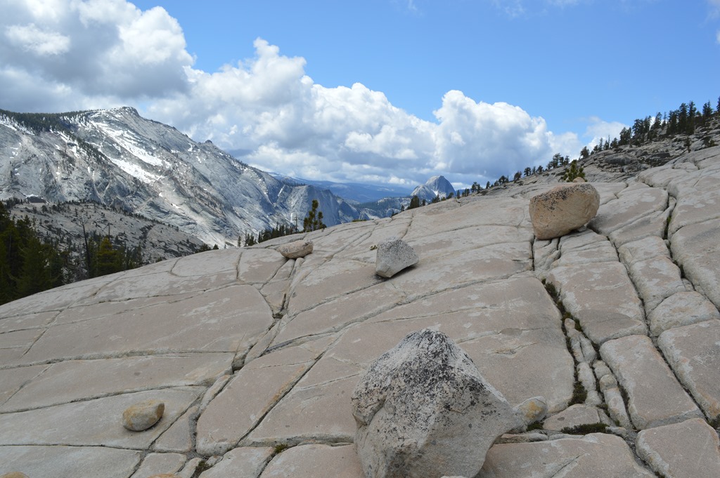
The rock face is cracked with deep grooves where some trees and shrubs and grasses take hold.
Life growing out of the cracks in the rock.
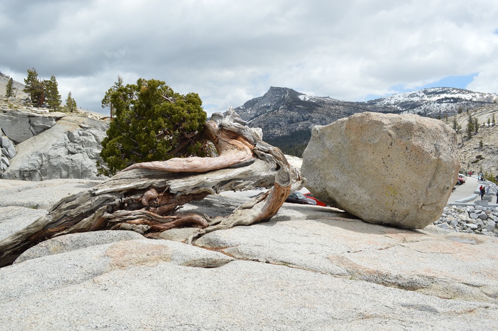
The scale of everything in Yosemite is grand. Boulders the size of cars litter the landscape.
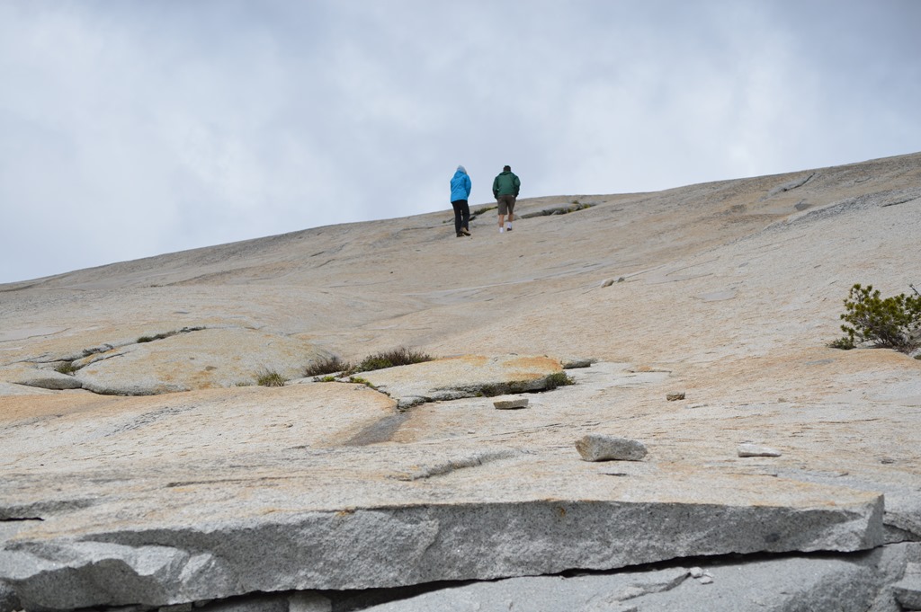
Walking the sheer rock faces.
Hiking trails descend from Olmsted Point.
Tioga Road traverses about 40 miles of forest and takes an hour or more of driving to reach Yosemite Valley from Olmsted Point. The elevation drop is gradual from 8,300 feet to 4,000 feet.
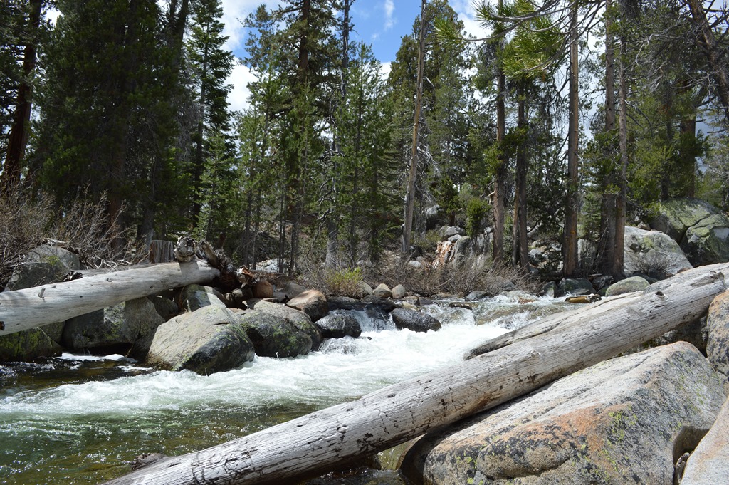
Tuolumne River by Tioga Road.
May is one of the best times of the year to visit Yosemite and see waterfalls. The Yosemite Valley plunge waterfalls are the grandest and most popular sights, yet there are many other locations for smaller waterfalls along Tioga Road.

Waterfall seen from a bridge on Tioga Road.
The western slopes of the Sierra extend 30 to 50 miles west of the high Sierra to reach the grasslands of the foothills dotted with oaks. There are miles of forest land in the lower elevations of the Sierra at 3,000 to 6,000 feet.
Looking west to the lower Sierra. Fires are a natural part of the forest environment. Historically fire would have burned out sections of forest at greater frequency than in the past 150 years since park protection. There are areas of Yosemite with fire damage from recent years.
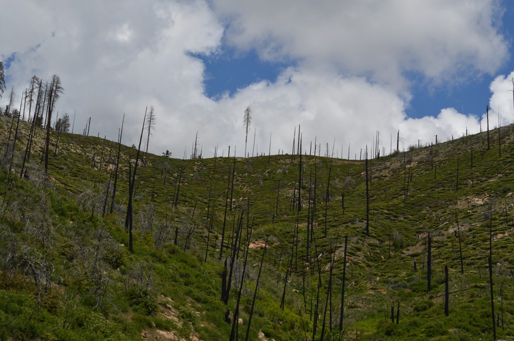
This section of forest a few miles east of Crane Flat above Tioga Road.
Crane Flat has a gas station which I used to add sufficient fuel to reach the central valley towns for cheaper gas. Crane Flat was charging $5.01 for gas. Eastern Sierra towns were around $4.50 per gallon. Valley towns like Merced were around $4.00.
After Crane Flat the road is called Big Oak Flat Road. The entire road distance from Tioga Pass to Yosemite Valley is 64 miles.
I spent four hours in this part of Yosemite National Park.
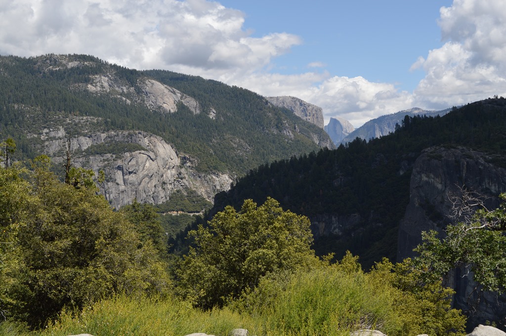
Half Dome seen from the west on Tioga Road-Big Oak Flat.
After driving an hour from Olmsted Point over more than 30 miles of road, Half Dome is now seen from the opposite direction while still on Tioga Road. There are still another ten miles of road to get down into Yosemite Valley.
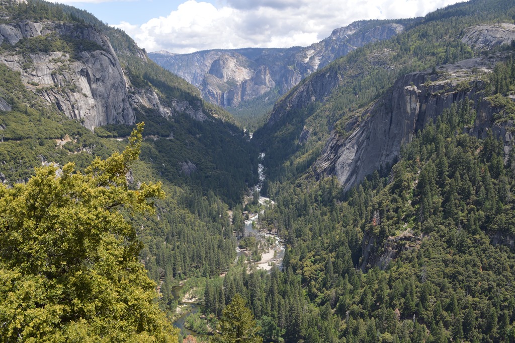
Merced River coming out of Yosemite Valley.
In the background of this picture is Bridalveil Fall.
A telephoto shot reveals more to the eye.
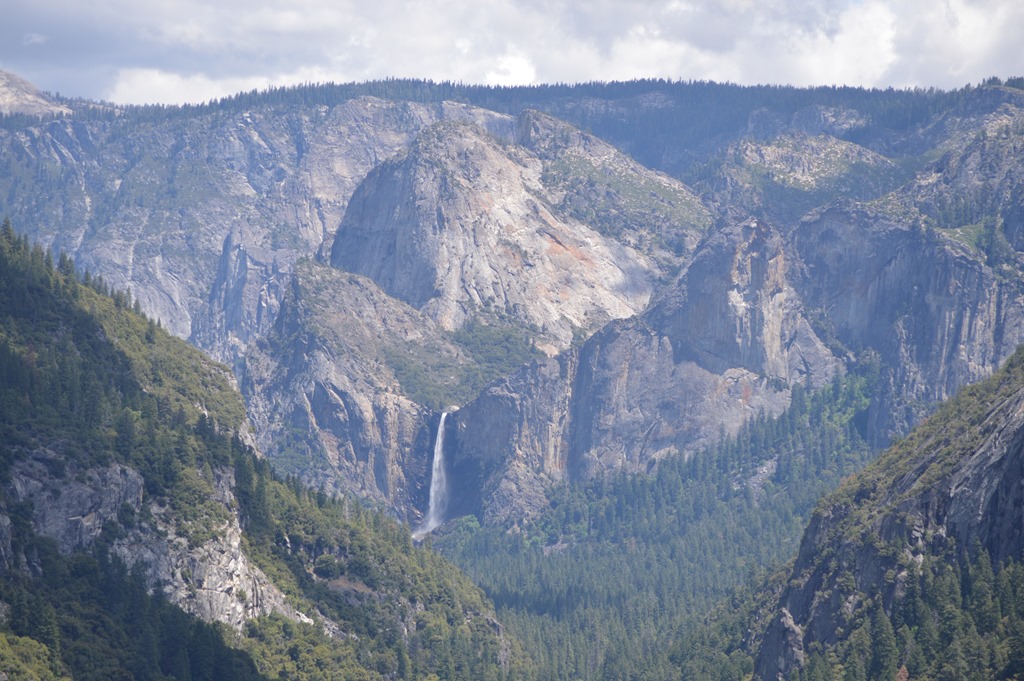
Bridalveil Fall (617 feet), Yosemite National Park.
A sight like Bridalveil Fall is a life memory.
Yosemite is art on nature’s canvas. The views are grand and spectacular.
Tioga Road offers access to a side of Yosemite National Park many visitors do not experience.
Yosemite Valley is the premier attraction for Yosemite National Park.
Yosemite Valley sights will be another post.

4 Comments
Comments are closed.